These are the 6 Drone Apps that you need to know to get the most out of it professionally.
All statistical data indicate that the use of drones in engineering It has experienced significant growth in recent years and is expected to continue on the rise in the near future. This is due, in part, to the development of software and drone applications that enable users to get the most out of drones across various sectors of industry and engineering.
According to a report by PwC, the use of drones in the engineering and construction industry can save up to 2% in project costs, which is very significant for large-scale projects. Likewise, a study by the Association for Unmanned Vehicle Systems International (AUVSI) found that the use of drones in infrastructure inspections can reduce inspection time by 90% and cut inspection costs by 40%.
Drones, also known as unmanned aerial vehicles (UAVs), are aircraft that are piloted remotely or autonomously. These devices have gained widespread popularity in recent years due to their diverse applications across a wide variety of fields, including engineering.

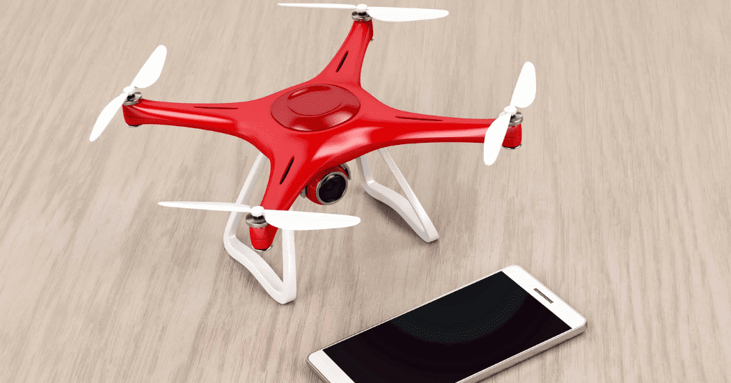
Integration between the drone controller and smartphone. Source: Godrone.mx
What are drones used for in engineering?
Drones are used in engineering primarily to data collection and structural inspection. For example, drones equipped with high-resolution cameras and sensors can be used to inspect bridges, power towers and high-voltage power lines, as well as buildings and structures in remote or hazardous areas, such as oil rigs and wind turbines.
In addition to inspections, drones are also used to mapping and surveying, since they can collect highly accurate data in real time and in hard-to-reach areas. This data can then be used for the planning and design of engineering projects, such as the construction of roads, bridges, and buildings.
What are drone apps?
There are many free apps that can be downloaded and used on drones for a wide variety of purposes. These applications can enhance the functionality and safety of drones by allowing users to make the most of these devices' capabilities, access real-time flight maps and instantly view the weather conditions relevant to the flight in each area.
These apps can be easily downloaded onto our mobile devices and tablets, since they are usually available at the stores in Apps most popular on the market. This makes them all very accessible and easy to incorporate into our daily lives, whether for professional or recreational purposes. Here’s a list of The most widely used drone apps among professional users:
1. AirMap
AirMap is an app for Flight planning and drone traffic management which has become very popular among industry professionals. The app allows users to plan safe and efficient drone flights anywhere in the world, as well as staying informed about flight regulations and restrictions in real time.
It features a user-friendly, easy-to-use interface that allows users to plan flight routes, set altitude and speed limits, schedule the start and end times of the mission, and establish no-fly zones. In addition, the app provides real-time information on drone traffic and local weather conditions to help users fly safely and avoid collisions with other drones or aircraft.
2. DJI Go
It is one of the most widely used apps among pilots of that brand's drones DJI, which offers a variety of features for control and monitor drone flights and capture high-quality images and videos. It allows you to control the drone remotely from a mobile device or tablet, making it very convenient for the pilot to operate the drone's camera.
It also includes a variety of smart flight modes, such as follow mode, point-of-interest mode, and flight path mode, which allow drone pilots to perform tasks more efficiently and capture high-quality images.

Example of a DII drone. Source: The Flight of the Drone
3. Pix4Dcapture
This app is very popular among professionals in the fields of surveying, cartography, archaeology, agriculture, and civil engineering. The most notable feature of this app is its ability to plan and carry out aerial mapping missions efficiently and accurately, since it allows you to define the area of interest on a map, set the flight altitude, overlap, and camera orientation, and select the type of map you want to generate—either a 2D or 3D map.
After completing the flight mission, the Pix4Dcapture app sends the captured images to Pix4D's processing software, which uses advanced photogrammetry algorithms to create high-resolution 2D and 3D maps. These maps can be used for a variety of applications, including project planning, monitoring changes in terrain, and measuring areas and volumes.
4. DroneDeploy
This app uses an advanced image-processing algorithm to generate 2D and 3D terrain models from images captured by the drone. It also offers a range of tools for analyzing the collected data, such as anomaly detection, area and volume measurement, and the identification of changes in the terrain over time.
One of the most notable features of DroneDeploy is its ability to easily share the maps and data it generates with teams or clients, which enables efficient collaboration and better decision-making.
5. Lychee
It is widely used in various fields, such as filmmaking, photography, and real estate, among others. One of Litchi's most notable features is the ability to plan complex flight paths using waypoints and points of interest. The app allows you to plan custom flight missions by selecting the flight altitude, speed, and other parameters to optimize coverage of the area of interest.
In addition, Litchi offers a wide variety of flight modes, such as “Follow Me,” “Orbit,” “Dronie,” “Waypoint” and more, which allow users to control the camera and the drone’s movements to capture unique and spectacular shots. The app also features an integrated flight simulator that lets you practice and hone their flying skills before going on an actual mission.
6. Map Pilot
This app uses advanced image processing technology to generate 2D and 3D terrain models from images captured by the drone, and it also offers tools for analyzing the collected data, such as measuring areas and volumes and detecting changes in the terrain over time.
Another key feature of Map Pilot is its ability to operate without an internet connection, allowing users to plan and execute flight missions in remote areas without network coverage. The app also supports integration with various types of drones, including those from DJI.

Screenshot of the Litchi interface. Source: CineD.com
In conclusion, the use of drone applications can significantly improve the efficiency of professionals in the sector when performing tasks such as engineering, mapping, surveying, inspection, and many others. At the same time, These applications are constantly evolving, which is why it's important for professionals in the field to stay up to date on this topic.
The incorporation of new applications and technologies can further improve the efficiency of drone operations and enable professionals to perform more complex and sophisticated tasks with less effort and greater precision and effectiveness. For this reason, at the Master's Degree in Operational Applications of Drones in Engineering Structuralia collaborates with industry experts to train professionals in the latest trends in drones.