We have seen how mapmaking has changed over the years. This process evolved from static paper maps to today’s highly accurate interactive digital maps. The creation of the survey It's one of those jobs that won't disappear in the future, especially now with the rise of smart cities (smart cities) and the pursuit of more sustainable cities.
We have seen how mapmaking has changed over the years. This process evolved from static paper maps to today’s highly accurate interactive digital maps. The creation of the survey It's one of those jobs that won't disappear in the future, especially now with the rise of smart cities (smart cities) and the pursuit of more sustainable cities.
Let's review the various methods we have developed throughout history for surveying land and creating maps. We'll also look at some master's degree programs related to these strategies.
What we use to create detailed digital maps
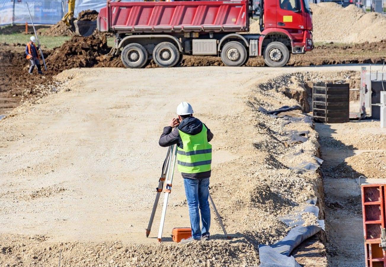
Field Survey
We use it to identify all the bridges, roads, and structures that exist both on the surface and beneath a given area of land. For this study, we also need to review the land survey records, if available.
In the future, we will rely on the robotic surveying technology; in addition, tools such as differential GPS (DGPS) and electronic distance measurement (EDM) will become increasingly affordable and easy to implement.
The Master's Degree in BIM Applied to Building Construction It's a great career opportunity.
Satellite sensors
Satellite land surveying is a highly cost-effective solution. It makes it easy to analyze large areas and create maps of them. Satellites allow us to study both urban and rural areas.
These devices allow us to improve the topography as we know it, which Now it'll be in 3D. Satellite systems are ideal for monitoring large agricultural areas and forests. Those interested in environmentally responsible construction will find their career path in the Master's Degree in Smart Cities, Sustainability and Urban Planning.
Aerial photography
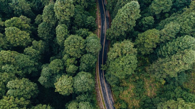
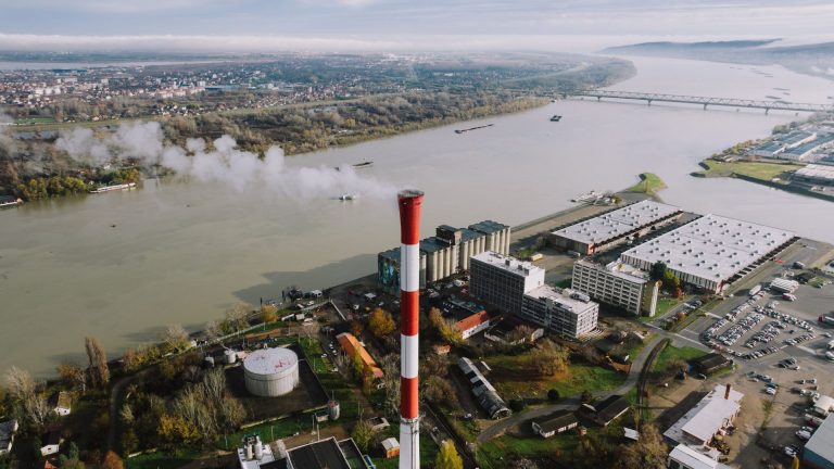
These are photos of the terrain taken from a great height using cameras mounted on aircraft. We use the aerial photography to conduct topographic surveys, create maps for agricultural purposes, determine access routes from one point to another on a piece of land, or for defense services. The Master’s Degree in Advanced Management of Infrastructure Development and Operation, with a Specialization in Large-Scale Construction Projects, from Alfonso X el Sabio University teaches us to build in places with good accessibility.
Drone Mapping
The drone mapping It is the technology of the future for creating geospatial data. In addition to being extremely cost-effective, drones allow for photography with a very high spatial resolution (up to 1 cm per pixel), and the photos they take are much sharper and free of noise. The results we achieve are much better than those from traditional ground-based surveying.
It is clear that drones will play an essential role in both the construction and renovation of buildings in the most modern cities. A Master's Degree in Building Renovation and Energy Conservation It's a great option we can pursue to ensure a bright future in the workforce.
Artificial Intelligence and Deep Learning
Finally, we can't conclude without mentioning the important role that they will play AI and the deep learning, which will be a true revolution in the automation of surveying and the generation of spatial data. Artificial intelligence systems will perform tasks such as image recognition and object processing and recognition. And all of this will be carried out using geographic information systems (GIS) capable of learning on their own.
Satellites, airplanes, drones, AI… As we’ve seen, older systems are combined with more modern ones to give way to the survey of the future. A title like the Master's Degree in Civil Infrastructure Engineering It is one of the many options available to us for becoming professionals in architecture and construction. We will see how the demand for experts in new technologies applicable to this field is growing.