Water has historically been a vital element of our way of life, but it can be quite harmful when it is present in large quantities on the land we choose to build, or exploit through agriculture. Excess water in the soil undermines the stability of any structure's foundations, and in agriculture, excessive moisture can cause severe damage to crops.
That is why, when there are natural watercourses near the settlement site, we must conduct hydrological studies that will allow us to determine the minimum flood discharge that may affect our area of interest. This is achieved through the arduous task of studying the rainfall pattern at the site and characterizing the surrounding area.
Hydrological Studies: The Traditional Method
The various analyses that make up a hydrological study typically involve, in addition to a field visit, a review of whatever the available maps or aerial photographs to determine the physical characteristics of the watershed in question. This means that the quality and accuracy of the study depend heavily on the quality of the existing data sources.
This can become a significant problem if the property owner or public administration has not conducted prior aerial surveys, or if the available surveys are of poor quality, thereby limiting the scope of the study or, conversely, increasing its cost. In some cases, satellite images are often used, although they are similarly limited because visibility is frequently obstructed by clouds and the resolution is not always optimal for many applications.
Finally, using the information obtained from the characterization of the study area, it is possible to determine the flood risks for the land and the maximum discharge rates through the rational method for areas within 50 km², while the statistical methods e hydrological are better suited for upper surfaces.
Drones in Hydrology
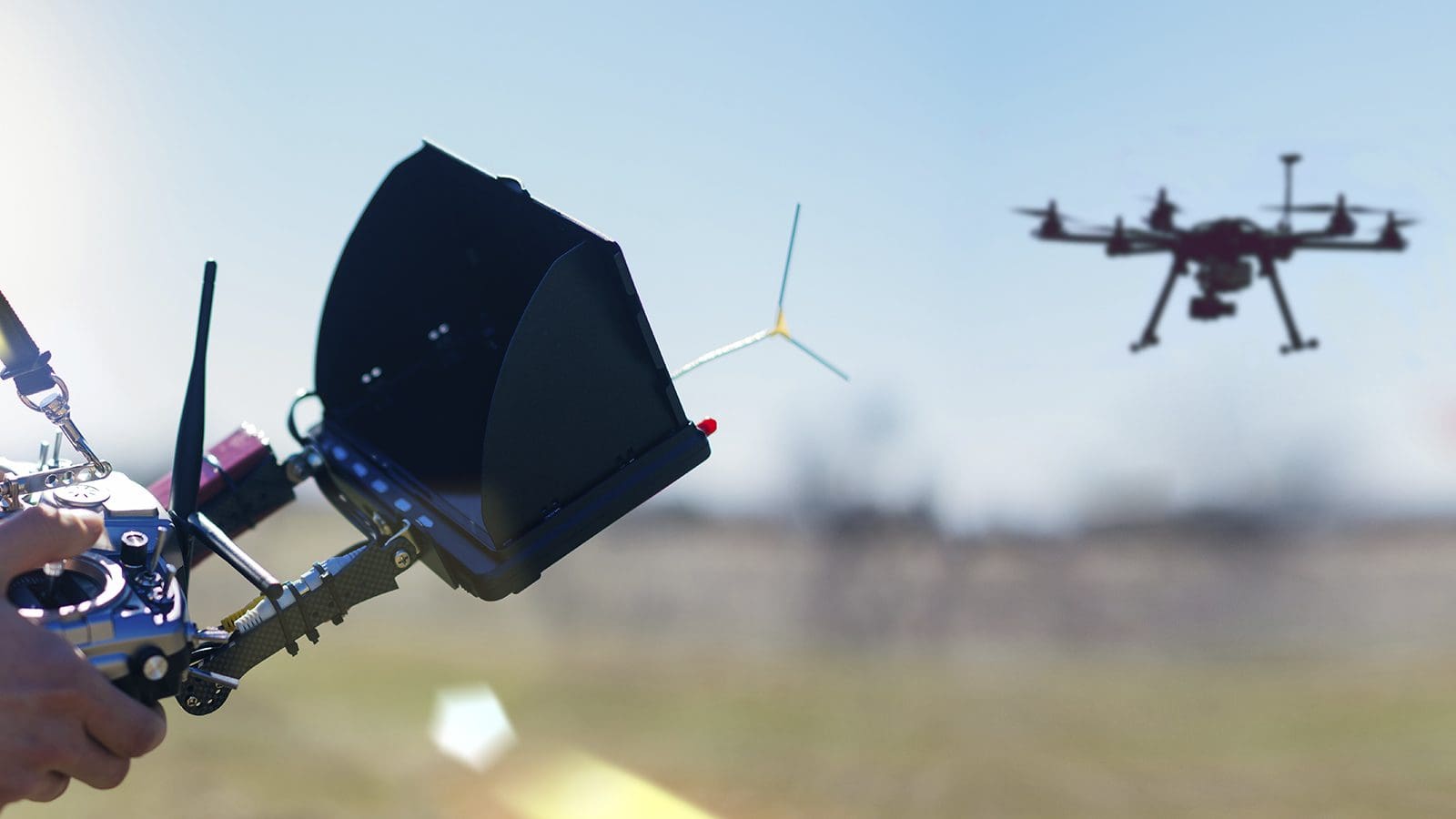
Although this technology was originally developed for military purposes, these easy-to-operate unmanned aerial vehicles—once equipped with high-performance cameras and sensors—have proven to be a valuable tool in civil engineering. Versatility, autonomy, and accessibility The use of drones has facilitated and improved an unimaginable number of applications in the technical field, particularly in topographic surveys.
By flying at a very low altitude, they are able to generate higher-resolution images than a satellite, and without worrying that a cloud might obstruct the view. Not to mention the ease and speed with which data collected by a drone can be extracted. This definitively bridges the gap that existed between geological research laboratories and satellite remote sensing.
More importantly, the information a drone can provide goes beyond just visual and cartographic data; a drone equipped with the right sensors can provide a fairly accurate topographic survey that can be used to generate a 3D terrain model. This information, when cross-referenced with meteorological data, is used to generate accurate forecasts of areas at risk of flooding or, for example, to assess how a project, a linear structure, or infrastructure on the ground increases or decreases that risk.
And just as with flood prevention and flow control, today we can find Endless Applications for Drones related to hydrology, such as dam inspections, monitoring the impact of soil moisture on agriculture, forest and water resource inventories, and surveying changes in glaciers caused by melting.
This kind of versatility and efficiency means that drones have definitely gained a a key role in hydrological and geological studies, since, at an affordable cost, they have substantially improved the accuracy of these types of studies on a small, medium, and large scale.